

I was walking the usual track off the end of Hillcrest Avenue at Faulconbridge a few weeks ago, and I was just exploring along an extensive rock platform, I came to the end of it nearest to the start of the track when I came across what looked to be a very new track had/was being cut through the bush there heading down into the valley below the rock platform. I walked down it for a short distance to see if it kept going and it did, I even came across where a couple of steps had been chipped out of the rock. Made a mental note to return and explore some more.
I came back with a walking friend to explore this track and to see where it led, the start of the track is marked by a stone cairn next to a now burnt tree with a large fallen section of the tree "blocking" the start of the track. If you keep your eyes peeled, you should spot the track easily on your left.
Since I had first "discovered" this track, there had been extensive burnoffs at the top of the ridge, so the scrub was now quite open for the first part of the track, very easy to follow, a number of trees had been sawn off at close to ground level, in some places neither of us could fathom why a tree had been needed to be cut down in a lot of the places along the track. Along most of the route, the ground cover of leaves have been raked to the side to further define the track making it very easy to follow.
The track wound down the gentle slope and along below the rock platform for some distance, after a while you come to a T intersection, straight ahead seemed to go further along below the rock platform before finally turning up toward the platform to come out on top. Though this section is not well defined as you head up the slope.
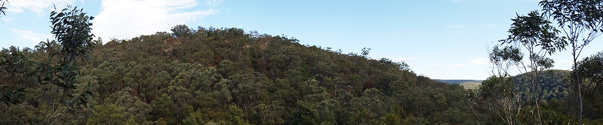
Returning to the intersection, we headed further down the slope as the track wound through the open scrub, we started to hear frogs croaking from down in the depths of the valley below. Eventually, we came to a reasonably high cliff that rolled off into the valley below, we stopped for a bit of a look over the wooded valley below, the frogs were croaking up a storm.
A this point the track takes a turn to the right and follows the natural contours of the hillside eventually coming to a couple of really new steps cut from the sandstone, I stepped down these couple and saw that I needed to go left along a narrow ledge to then step down onto some positioned flat rocks and down to ground level below. After getting down, I turned around to watch my companion negotiate this section when I noted that not only had steps been cut, but a long section of the rock edge had been "shaved" to make the ledge easier to walk along. Not exactly sure how I feel about this sort of rock work being done, it looked very new as the marks had not started to stain and weather at all.
We continued along the track as it continued down right to the creek level below, it is an easy descent from that ledge to the creek below. As you descend down towards the valley floor and creek below, you pass under a very large overhang which makes for a shady spot to dwell a while.
When we arrived at the creek below, there was very little water running, nothing more than a slight trickle. Again, down here, someone had chopped down some reasonably thick trees to form a "bridge" across the creek, not that you need it at the moment and really, one good storm and that "bridge" would be long gone, a real waste of living trees we both agreed.
The track then follows the creek for a short distance downstream and then peters out to nothing, up on your left are some extensive low overhangs that are very cool with some evidence of fires having been lit within.
We spent another 10 minutes looking for any evidence that the track continued any further, but we could find nothing to suggest that as yet, perhaps it will eventually be extended up to the walking track that comes off the end of St Georges Crescent. (I did that ascent, and pushing a track up there would take a bit of route finding there are some reasonable rock ledges and mini cliff lines to negotiate before you reach the top)
If you are feeling adventurous, you can follow the creek down a ways, it turns into a narrow section with a small waterfall and an overhang that is quite nice, about another 40-50 feet along and it drops into a 40+ foot waterfall with a massive overhang on the right as you look over the edge. This would be spectacular after some good rain.
So, from the main firetrail at the top, to the creek at the bottom is no more than a 15-20 minute easy walk, it makes for a nice short diversion into a pleasant valley and with care would be suitable for kids as well, they just may need help with the ledge section with the steps.
The whole track has now been mapped into Open Street Map.
Image Gallery


